







April 22, 2026 · On April 19, engineer and media personality Slater Young went viral for a video he posted in defense of Monterrazas de Cebu, which was investigated by the Department of Environment and Natural ResourcesPH Laws & FrameworksDepartment of Environment and Natural Resources (DENR)The Philippine executive department managing forests, protected areas, mining permits, and pollution control. It is the primary regulatory counterparty for environmental compliance, natural capital valuation, and the issuance of permits governing resource extraction and land-use changes.Read more in the Glossary → (DENR) amid concerns about the development’s impact on extreme flooding.
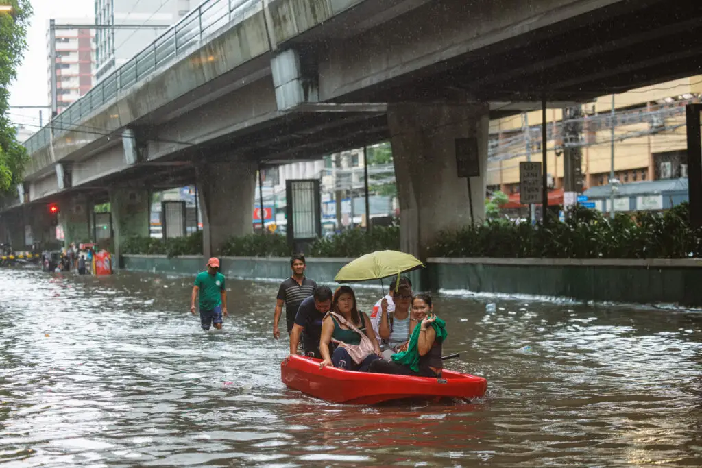
Typhoon Tino, internationally known as Kalmaegi, devastated the Philippines in November 2025. Cebu province, among the hardest hit, was subjected to extreme rain and flooding that damaged or destroyed thousands of homes. The severity of the floods led people to question whether the development of the Monterrazas de Cebu, a 200-hectare mountainside development covering the barangays of Guadalupe, Sapangdaku, Buhisan, and Tisa in Cebu City, contributed to the devastation.
In the video, Young—who designed the project developed by Mont Property Group—claimed: “The science does not just say that we did not cause the flooding, but that the systems we have built in place helped reduce it.”
He cited an independent study released on March 2 by the Environmental Hydrology Lab (EHydroLab) of the University of the Philippines’ Institute of Environmental Science and Meteorology (UP IESM), which assessed the flood impacts brought by Typhoon Tino.
At a recent press conference, Mont Property Group General Manager Camille Bondad referenced the same study. She urged that the extreme rainfall was responsible for the flooding and not their construction.
Sustina reached out to EHydroLab, who clarified that the data used was sourced from public datasets. Monterrazas de Cebu additionally provided the design of the detention ponds and their locations so that EHydroLab could incorporate them into their models.
When asked if the results were likely to change after the study was completed, Mayzonee V. Ligaray, the head of EHydroLab said: “The results for the Guadalupe and Kinalumsan can only change if we are provided with new data that weren’t reflected in the datasets that we already gathered.”
“We welcome academic discussions on this, especially since the quality of our results can only depend on the quality of data we sourced from public domains such as the national government agencies and global datasets.”
The researchers first conducted their hydrological assessment study in December 2025. Using hydrologic modeling, they ran flood simulations for scenarios including one where the Monterazzas property did not exist, one where the property existed but had no detention ponds, and one where the property existed with ponds.
“The Guadalupe and Kinalumsan river basins are technically done and the analyses are complete, but we have four other river basins that we need to simulate so this is still an ongoing study.”
Ligaray said the results for the first two river basins showed that detention ponds developed by Monterrazas de Cebu “acted as a buffer” but qualified that “we need to consider that this is a basin-wide flooding which means that there are other factors that our watershedLocal Climate & EcologyWatershedThe topographical boundary draining water into a common river system or body of water.Read more in the Glossary → and flood models have taken into account.”
The models took into account the land cover, topography, soil types, river network, and the amount of rainfall that the basin is receiving, Ligaray said. “This is why we chose a basin-scale or watershed-scale approach to conduct this study to better understand the watershed characteristics of the study areas.”
Ligaray also confirmed that the study was not meant to be taken as an Environmental Impact AssessmentPH Laws & FrameworksEnvironmental Compliance Certificate (ECC)A mandatory legal document issued by the DENR-EMB certifying that a proposed project has undergone an Environmental Impact Assessment and committed to an Environmental Management Plan. It is a critical gating item for project financing, land acquisition, and operational licensing in the Philippines.Read more in the Glossary → (EIA).
“This study is not an Environmental Impact Assessment since we only focused on flooding,” she said. “We do call our study a Flood and Inundation Assessment since we focused on the flood dynamics at a basin-scale and the inundation patterns under different scenarios. This is also specific to Typhoon Tino which does not really qualify as an EIA.”
EIA is the official, legal process that evaluates the environmental consequences of a proposed project. Only projects that pass the assessment are issued an Environmental Compliance Certificate (ECC) by the DENR.
In the wake of Typhoon Tino, DENR and the Environmental Management Bureau Region 7 (EMB-7) discovered that Monterrazas de Cebu had violated 10 out of 33 conditions in its ECC, including insufficient drainage systems, prompting a cease-and-desist order on November 10, 2025.
On April 18, the DENR announced that it lifted its cessation-of-operations order (CDO) on the project. EMB-7 Regional Director John Edward Ang acknowledged that Mont Property Group was taking a “meaningful step toward reducing flood risk” with the implementation of new structural measures, notably increasing the number of detention ponds from 18 at the time of Typhoon Tino to 23.
While EHydroLab’s study is currently ongoing, the current findings are accessible through their Facebook page. They aim to publish their research in scientific journals upon completion.
Sustina reached out to Mont Property Group for comment, but no response was given at the time of publishing.